 Image 1 sur 1
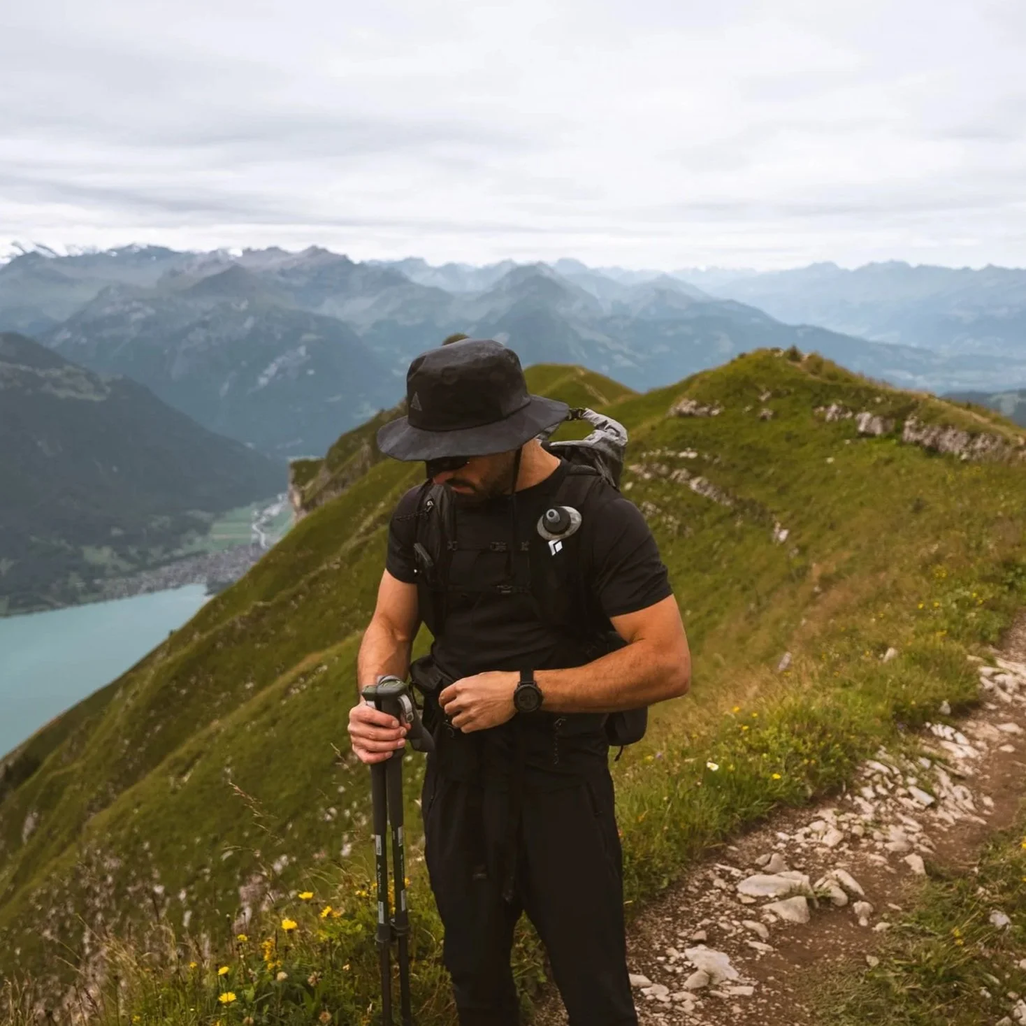
Distance: 6.4 km
Elevation gain: 562 m
Type: Loop
Highest point: 2137 m (Augstmatthorn)
Difficulty: Challenging (due to exposure and terrain, not technical climbing)
This route is free to download.
If you’d like to support Slow Road Studio and the creation of free itineraries, GPX files, and guides, you can contribute here.